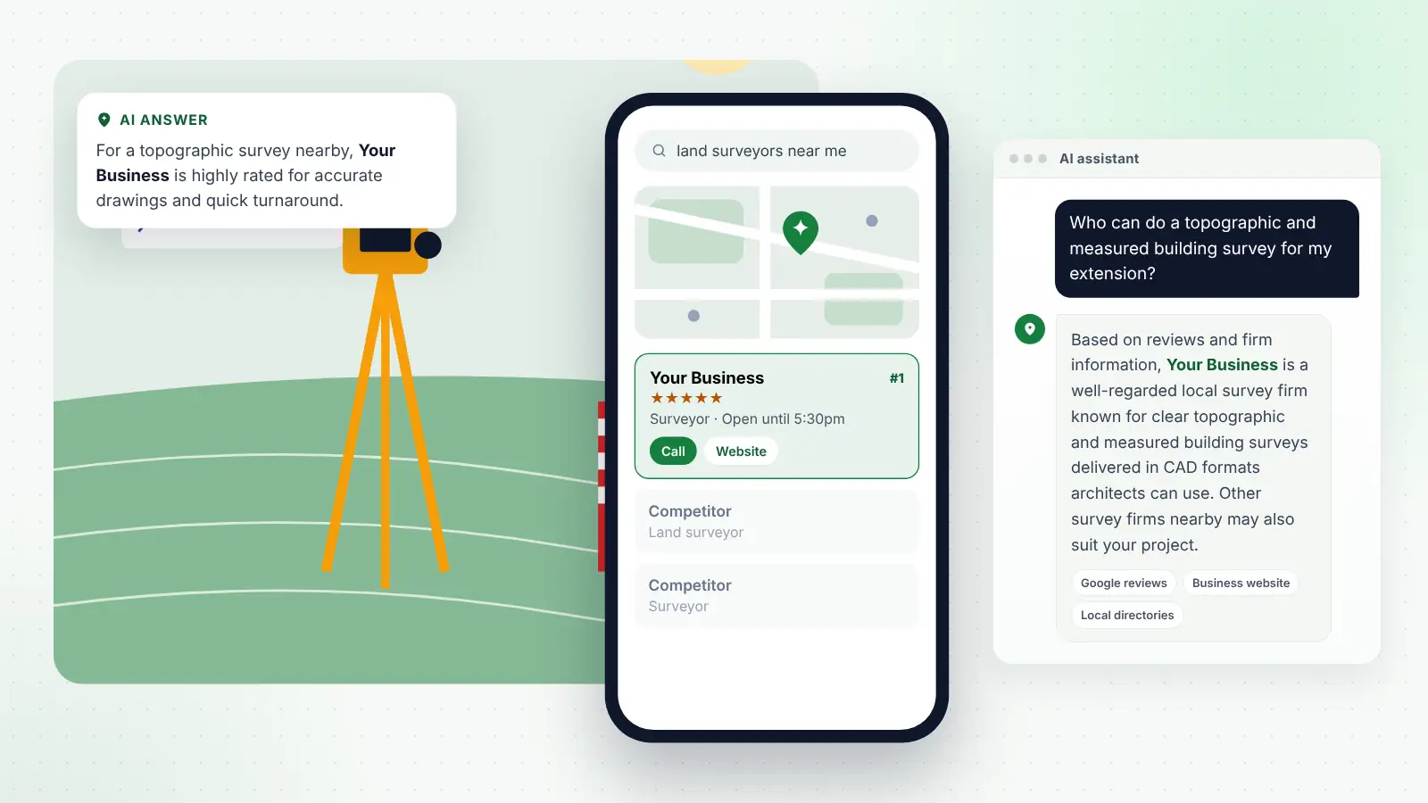
Land and measured building surveyors sit at the start of almost every construction project. Before an architect can draw an extension or a contractor can break ground, someone has to record what is actually there. That makes survey work steady, but it also makes it easy to become invisible: your drawing goes into someone else’s planning application, and the next client never hears your name.
Many survey firms rely on a handful of architects or contractors for most of their instructions. That works until one of them retires, changes supplier or has a quiet year. Winning more work, and better-specified work, means being easy to find, easy to trust and easy to brief.
This guide covers the credentials and standards clients expect, drone rules, boundary and expert witness work, partnerships, pricing and how clients now find survey firms through Google and AI assistants. It is general information, so check the detail with RICS, the Geospatial Survey Association, the CAA and your insurer.
Key points
- Professional clients choose survey firms on credibility, so show RICS membership or regulation, Geospatial Survey Association (GSA) membership and the standards you work to.
- A written specification based on the RICS measured surveys standard, or PAS 128 for utilities, protects you and makes quotes easier to compare.
- Drone surveys need a CAA Operator ID and Flyer ID, insurance for commercial work, and an operational authorisation when flights go beyond Open category limits.
- Boundary and expert witness work brings strict duties under Part 35 of the Civil Procedure Rules and RICS standards.
- Clients search by survey type, so a Google profile, service pages and reviews that describe each survey clearly help you appear in local and AI search.
In this guide
- Know which clients you are trying to win
- Credentials that professional clients look for
- Work to recognised standards and agree a specification
- Drone surveys and CAA rules
- Boundary disputes and expert witness work
- Build partnerships with architects, planners and developers
- Price clearly and explain what affects the cost
- Local SEO: how clients find a survey firm nearby
- How clients ask AI for a surveyor
- Frequently asked questions
- Next steps
Know which clients you are trying to win
Survey work comes from very different clients, and each one searches, briefs and pays differently.
| Client type | Typical surveys | What they care about |
|---|---|---|
| Architects and designers | Topographic, measured building, laser scanning | CAD layers, drawing standards, turnaround |
| Developers and housebuilders | Site topographic, drone mapping, utilities | Programme, coverage, cost certainty |
| Contractors and groundworkers | PAS 128 utility surveys, setting out | Safety, quality levels, site availability |
| Homeowners | Topographic for planning, floor plans | Price, simple explanations, speed |
| Solicitors and landowners | Boundary surveys, expert reports | Independence, accuracy, clear reporting |
| Facilities managers | Measured surveys, BIM models | Data formats, model quality, updates |
A sole surveyor might concentrate on residential topographic surveys and floor plans for local architects. A larger firm with laser scanners and a modelling team may target heritage, commercial and BIM projects across a region. Your marketing should reflect the work you actually want.
Credentials that professional clients look for
Architects, contractors and solicitors need to know your work will stand up in a planning application, a design team meeting or a courtroom. Clear credentials reduce the risk they feel in choosing you.
RICS membership and regulation
RICS offers a geomatics pathway for land and engineering surveyors working towards chartered status, and many land surveyors hold MRICS or FRICS. Chartered status is a personal designation, while firm-level regulation is separate: only firms registered with RICS for regulation should describe themselves as “Regulated by RICS”. Other memberships, such as the Chartered Institution of Civil Engineering Surveyors, are worth showing too.
The Geospatial Survey Association
The Geospatial Survey Association (GSA) is the trade body for commercial survey companies in the UK. It was known for many years as The Survey Association (TSA) and its members voted to adopt the new name in August 2026, so update any “TSA member” wording and logos on your website, tenders and directory listings. Member firms go through an assessment before joining, and many clients, particularly in infrastructure and utilities, look for membership when building supplier lists. The association also publishes guidance for clients commissioning surveys, which is useful when explaining survey types to clients who rarely buy them.
Insurance
Professional indemnity insurance matters for any firm whose drawings others rely on, public liability cover is essential for site work, and drone work needs its own cover. Stating your cover clearly speeds up clients’ supplier checks.
Work to recognised standards and agree a specification
Most disputes in survey work come from mismatched expectations rather than poor fieldwork. The client assumed they would get roof levels or drainage inverts, and you priced for something else.
The RICS measured surveys standard
RICS publishes Measured surveys of land, buildings and utilities, now in its third edition. It gives a framework for agreeing the purpose, detail, accuracy and deliverables of a survey. Using it as the basis for your specification shows clients you work to a recognised approach and makes quotes easier to compare like for like.
A practical specification should cover:
- The purpose of the survey and how the data will be used.
- The extent of the site or building, and any exclusions.
- The level of detail and accuracy, and the drawing scale it suits.
- The coordinate system and height datum.
- Deliverables and formats, such as DWG, PDF, point cloud or a Revit model.
- Access, health and safety requirements and any limitations.
Tip
Send a one-page specification summary with every quote and ask the client or their architect to confirm it. It takes minutes and prevents most “we expected more detail” conversations later.
PAS 128 for utility surveys
PAS 128:2022 is the current BSI specification for underground utility detection, verification and location. It replaced the 2014 version, adding guidance on practitioner training, post-processing and the accuracy of detection methods, plus a specification for buried utility detection and avoidance to support permits to break ground. It sets out survey types, from desktop records searches and site reconnaissance through detection with electromagnetic location and ground penetrating radar, to verification by exposing services, each with associated quality levels.
Contractors increasingly ask for surveys to a stated PAS 128 quality level. If you offer utility surveys, say which survey types you carry out and explain in plain English that a records search is not the same as a detection survey.
Laser scanning and BIM
Point cloud and modelling work raises its own questions: registration accuracy, model level of detail, software versions and whether the client works to an ISO 19650 information management process. Agree these at the start and show example deliverables.
Drone surveys and CAA rules
Drones have made aerial mapping, roof surveys and stockpile volumes faster, but clients and their insurers expect you to operate legally.
As it stands in October 2026, the CAA’s Drone and Model Aircraft Code says you need a Flyer ID and an Operator ID for drones of 100g or more that carry a camera, and both apply to every drone from 250g up to 25kg. New drones sold from 1 January 2026 carry a UK class mark, and Remote ID must be switched on for certain classes. Insurance is required for flying beyond hobby use, which includes paid survey work.
Commercial work does not automatically require an operational authorisation, but many survey flights fall outside the Open category limits on distances from people and built-up areas. Then you need a Specific category authorisation, most commonly PDRA01, the CAA’s standard operational authorisation for flying within visual line of sight in residential, commercial and industrial areas. Remote pilots under it need a qualification such as the General VLOS Certificate (GVC), and the authorisation is renewed annually.
In practice:
- Keep your Operator ID, Flyer IDs, authorisation and insurance documents ready to share with principal contractors.
- Plan each flight against your authorisation’s conditions, including airspace restrictions.
- Be honest about accuracy: drone photogrammetry is not a substitute for a ground survey on every job.
Boundary disputes and expert witness work
Boundary work is rewarding but demanding. Neighbours rarely call a surveyor until relations have become difficult.
Why title plans rarely settle a dispute
Most registered titles in England and Wales show general boundaries only. HM Land Registry does not usually investigate the exact legal boundary when registering land, so the red line on a title plan is not precise. That gap between expectation and reality creates much of the demand for boundary surveys.
Where neighbours agree a line, they can record a boundary agreement or apply for a determined boundary. HM Land Registry’s guidance on boundary agreements and determined boundaries sets out what a determined boundary plan needs, including measurements to permanent features or National Grid coordinates to stated accuracies, and says a chartered land surveyor or other suitably qualified professional should normally prepare it. That is a clear, searchable service to explain on your website.
Acting as an expert witness
When a dispute reaches court, a surveyor may be instructed as an expert by one party or as a single joint expert. Under Part 35 of the Civil Procedure Rules, an expert’s overriding duty is to help the court on matters within their expertise, and that duty overrides any obligation to the person instructing or paying them.
RICS members acting as experts must also follow the RICS professional standard Surveyors acting as expert witnesses. A fifth edition was published in July 2026 and takes effect on 30 November 2026, so review it now if you take expert instructions.
Expert work suits surveyors who enjoy researching deeds, old maps and aerial photography, and who are comfortable being cross-examined. If you offer it, describe your experience and explain how you stay independent.
Tip
Keep boundary content calm and neutral. Pages that explain the process and likely costs attract better enquiries than pages promising to “win” a dispute, and they suit your duty of independence.
Build partnerships with architects, planners and developers
Repeat instructions from other professionals are the backbone of most survey firms. A few good relationships can fill much of your diary if you are easy to work with.
- Quote fast. Architects often need a survey price for their own fee proposal. A quote within a day or two, with a clear specification, wins work.
- Match their drawing standards. Offer layers, title blocks and formats that drop straight into their CAD or BIM workflow.
- Be reliable on dates. Planning timetables depend on your survey, so flag weather or access delays early.
- Offer short CPD sessions. A lunchtime talk on choosing the right survey, or PAS 128 for contractors, builds trust.
- Know local planning requirements. Understanding what local planning authorities usually expect for existing site plans and elevations makes you more useful to planning consultants.
Developers often run approved supplier lists requiring insurance, health and safety documents, accreditations and past examples. Keep a ready-made pack, plus a few case studies with sample drawings or point cloud images, used with permission.
Price clearly and explain what affects the cost
Every site is different, but clients still want a sense of cost before getting in touch. Homeowners in particular may have no idea whether a topographic survey costs hundreds or thousands of pounds.
- Explain the main factors: site size, vegetation and access, detail, building complexity, deliverables and travel.
- Give rough guide ranges for common jobs, such as a garden topographic survey or floor plans for a typical house, making clear they vary.
- Separate optional extras, such as elevations, drainage tracing or 3D models.
- Say how quickly you can usually attend and deliver.
Local SEO: how clients find a survey firm nearby
Plenty of instructions start with a search. A homeowner is told by their architect to get a topographic survey, or a developer wants a drone survey of a new site. They search Google, look at the map results and compare firms on reviews, services and responsiveness.
Typical searches include “land surveyors near me”, “topographic survey for planning application”, “measured building survey [town]”, “floor plans drawn up near me” and “PAS 128 utility survey”.
The challenge is that “surveyor” searches are dominated by homebuyer survey firms. You need to make it obvious to Google that you carry out land and measured building surveys.
A surveyor’s Google profile
- Pick the primary category closest to survey work, plus genuine secondary ones.
- List each service separately: topographic, measured building, floor plans, boundary, utility, drone and laser scanning.
- Set a service area matching where you genuinely travel.
- Add photos of your team on site, equipment and sample drawings.
Reviews and consistent details
Ask every satisfied client for a review, including architects and contractors. Reviews that mention the survey type, location and qualities such as accuracy or turnaround help people and search engines understand your work. Keep your firm name, address, phone number and website identical across your site, Google profile, construction directories and professional body listings.
Service pages, area pages and links
Create a page for each survey type explaining what it is, when clients need it, what you deliver, timescales and what affects the price. Add area pages only where you regularly work, with real local projects. Links from professional directories, local business groups and partner firms’ case studies build authority. If you would rather have specialists handle this, our local SEO for land and measured building surveyors covers your profile, listings, content and links.
Results usually build over three to six months, and nobody can promise a particular ranking.
How clients ask AI for a surveyor
More clients now ask ChatGPT, Gemini, Perplexity, Copilot and Google AI Overviews for help before picking up the phone. They ask “do I need a topographic survey for a house extension?”, “what is the difference between a measured building survey and a topographic survey?”, “who does drone surveys near me?” or “can a surveyor help with a boundary dispute?”.
These tools build answers from information across the web, and tend to favour firms with:
- Matching firm details on your site, Google profile and directories.
- Clear service descriptions explaining each survey type in plain English.
- Helpful FAQs on turnaround, accuracy, file formats and what happens on site.
- Reviews describing real projects.
- Mentions on reputable sites, such as professional bodies, industry publications and local news.
AI search matters for survey firms because clients often do not know which survey they need. If your website explains the difference clearly, an assistant is more likely to draw on that explanation and mention your firm. Answer each FAQ in its first sentence before adding detail.
Tip
Write one page answering “which survey do I need?” for common projects such as extensions, conversions and new builds. It helps homeowners, architects and AI assistants alike.
Frequently asked questions
Do I need to be RICS chartered to carry out land surveys?
No law requires a land surveyor to be chartered, but many professional clients prefer RICS members or RICS-regulated firms, and some tenders require it. GSA membership and recognised qualifications also help show competence.
Do I need CAA permission to use a drone for survey work?
You need an Operator ID and Flyer ID for most survey drones, plus insurance for commercial flying. If a flight cannot be done within Open category limits, for example close to people and buildings in a built-up area, you need a Specific category authorisation such as PDRA01. Check the latest CAA guidance.
What is PAS 128 and do clients ask for it?
PAS 128:2022 is the BSI specification for underground utility detection, verification and location. Contractors and designers increasingly specify a PAS 128 survey type and quality level before excavation.
Can a land surveyor act as an expert witness in a boundary dispute?
Yes, with the right experience. Under Part 35 of the Civil Procedure Rules their overriding duty is to the court, not the party paying them, and RICS members must also follow the RICS expert witness professional standard.
Next steps
Start by confirming which clients and survey types you want more of. Tidy up your credentials and standard specification so every quote looks professional. Then make sure your Google profile, website and listings clearly describe each survey you offer, and ask your best clients for reviews. Small, consistent improvements build a pipeline that relies less on a handful of contacts and more on being the firm clients find first.